map-creator.com Hardware and Software development, © Kilian Eisenegger 2026 info@map-creator.com, 4800 Zofingen Switzerland, HTML 5 optimized
Best practise
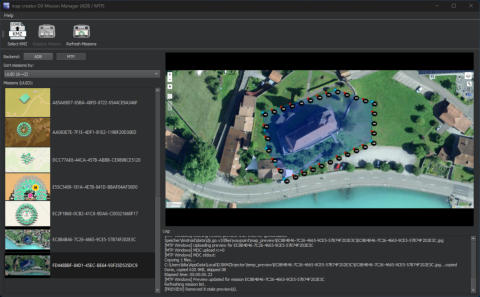
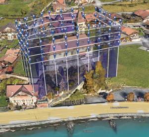
The combination of the double helix with a flat mission produces very good results with few photos. Programs such as colmap, Metashape, Meshroom, or Reality Scan achieve amazing results with this method. For DJI Fly, the double helix generates a waypoint for each photo. For DJI Pilot, we use the distance trigger to generate a photo at specific intervals along the flight path. The following mission was created with the polygon-grid-POI mission type from map-creator (DJI-Fly and Mini 5 Pro).Mission combination
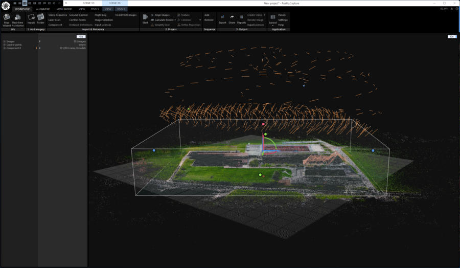
For larger areas, such as this school building complex, several double helix missions can also be inserted.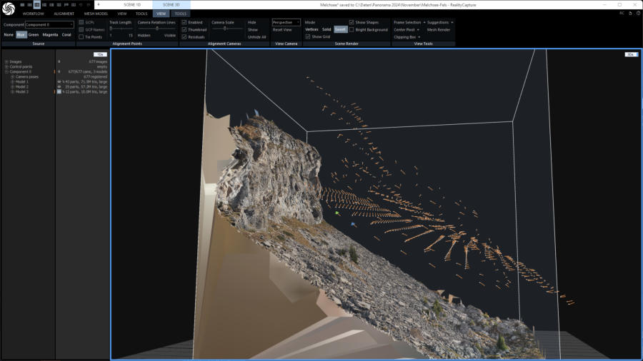
AGL missions
To document changes in terrain with a risk of debris flows, it is advisable to divide the mission into individual waypoints and use precise AGL. In Switzerland, I use the SwissAlit3D 2m or 0.5m elevation grid resolution. I use my own Open Topo Data DEM server for this.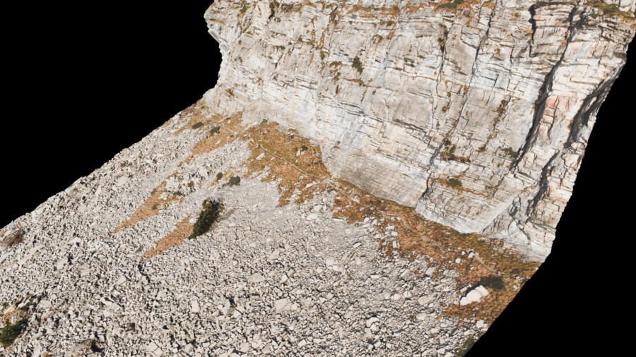
Reference model
If you like to compare different way to produce a realistic 3D always use a reference object. I use a barn near to me.
Polygon Grid POI Mission
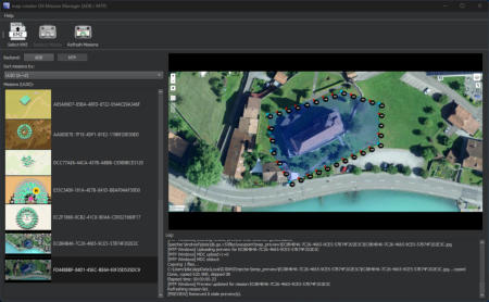
The DJIKMZInjector uses the map preview from map-creator to transfer the KMZ to the DIJ RC 2.

© Kilian Eisenegger 2026, info@map-creator.com 4800 Zofingen Switzerland
Best practise
The combination of the double helix with a flat mission pro- duces very good results with few photos. Programs such as colmap, Metashape, Meshroom, or Reality Scan achieve amaz- ing results with this method. For DJI Fly, the double helix generates a waypoint for each photo. For DJI Pilot, we use the distance trigger to generate a photo at specific intervals along the flight path. The following mission was created with the polygon-grid-POI mission type from map-creator (DJI-Fly and Mini 5 Pro).Mission combination
For larger areas, such as this school building complex, several double helix missions can also be inserted.
AGL missions
To document changes in terrain with a risk of debris flows, it is advisable to divide the mission into individual waypoints and use precise AGL. In Switzerland, I use the SwissAlit3D 2m or 0.5m elevation grid resolution. I use my own Open Topo Data DEM server for this.

Reference model
If you like to compare different way to produce a realistic 3D al- ways use a reference object. I use a barn near to me.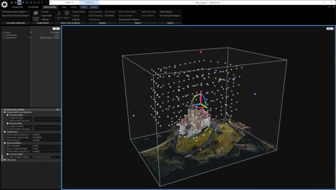
Polygon Grid POI Mission
The DJIKMZInjector uses the map preview from map-creator to transfer the KMZ to the DIJ RC 2.